
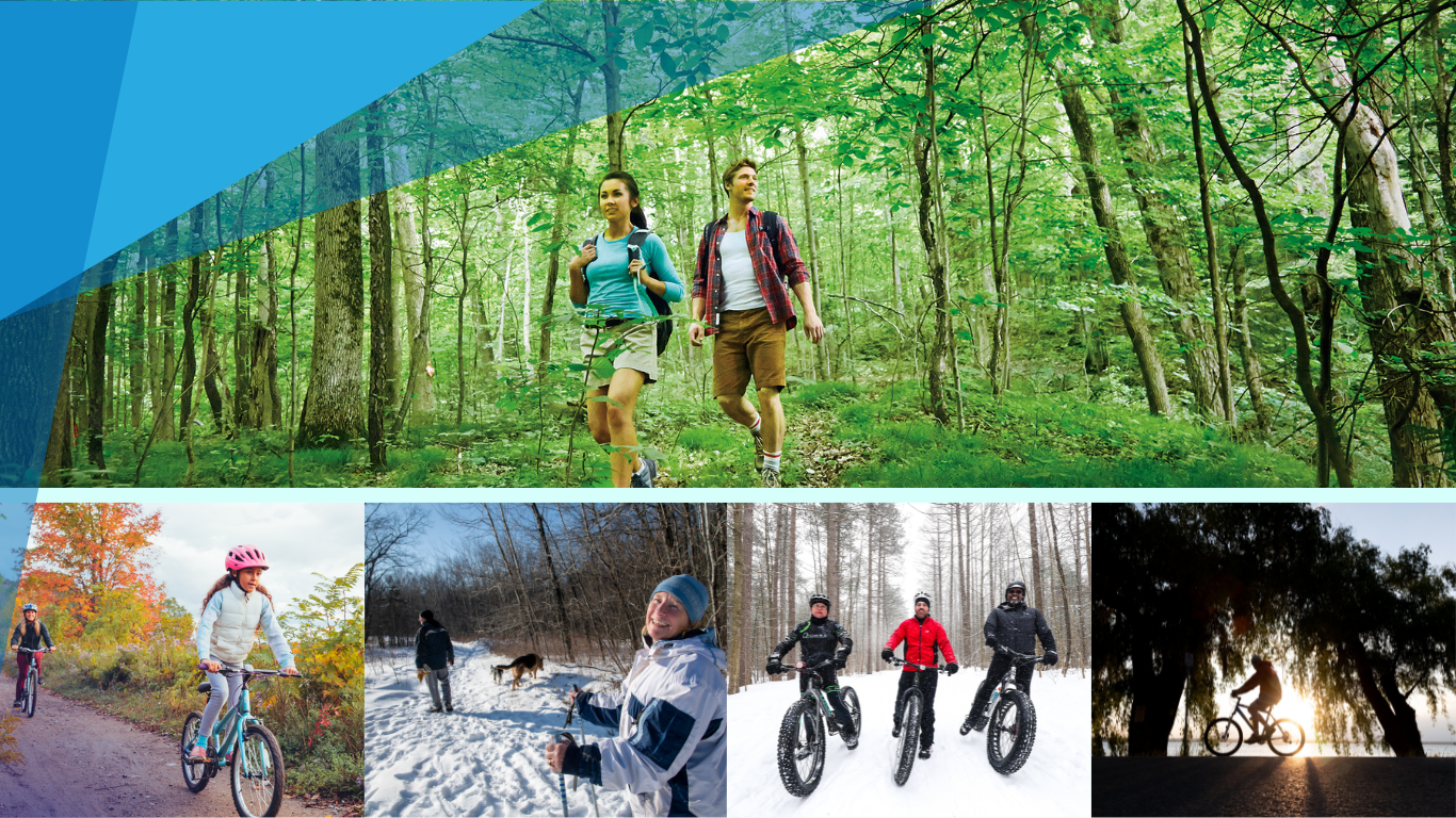
Trails to hike and cycle in Georgina
Get outside and explore Georgina’s diverse trail network — a haven for both hikers and cyclists. With over 117 kilometres of multi-use trails, including bike lanes, signed routes, paved shoulders, and off-road paths, there’s an outdoor adventure waiting for every skill level. Whether you’re winding through peaceful forests, cruising past wetlands, or enjoying views near Lake Simcoe, Georgina’s trails connect you with nature and local charm.
Take a break and refuel in one of our inviting downtowns with a visit to a local café or restaurant, or cool off at a nearby waterfront park. From casual strolls to challenging rides, Georgina’s trails offer the perfect mix of recreation, scenery and community connection.
Before you go, review cycling safety tips and make sure you’re equipped with the proper gear. Trails are shared spaces, so please ride responsibly and obey all road rules. Learn more about the Town's trails system, view an interactive map and trail etiquette.
Georgina trail list with uses
Arnold C. Matthews Nature Reserve
529 Deer Park Dr, Keswick
4 km | Difficulty: Low/Moderate
Mixture of trail terrain and surface.
Use: Walking/hiking
Cronsberry Tract
9526 Old Homestead Rd., Pefferlaw
1.5 km | Difficulty: Low
Gravel paths in a York Region Forest.
Use: Cycling/walking/hiking
Hodgson Trail
Baseline Rd. and Bramsey St., Sutton
0.9 km | Difficulty: Low
Gravel and boardwalk trails through forest and wetland.
Use: Cycling/walking/hiking
Metro Road Tract
1763 Metro Rd. N, Jackson’s Point
1.7 km | Difficulty: Low/Moderate
Gravel paths in a York Region Forest.
Use: Cycling/walking/hiking
Keswick Central Trail
100 Biscayne Blvd., Keswick
4.6 km | Difficulty: Low
Flat asphalt multi-use path.
Use: Walking/hiking
Pefferlaw Tract
24408 Lake Ridge Rd., Pefferlaw
8.3 km | Difficulty: Moderate
Unpaved paths through York Region Forest.
Use: Walking/hiking
Sibbald Point Provincial Trail
26071 Park Rd., Sutton
4.6 km | Difficulty: Low/Moderate
Mixed terrain trails through a provincial park.
Use: Cycling/walking/hiking
Sutton-Zephyr Rail Trail
Access from Catering Rd. or Old Homestead Rd.
9 km | Difficulty: Low
Gravel path along an abandoned rail line.
Use: Cycling/walking/hiking
The ROC Trails
26479 Civic Centre Rd., Keswick
3.3 km | Difficulty: Low/Moderate
Varied terrain and surface through natural landscapes.
Use: Cycling/walking/hiking
York Region cycling routes to Georgina
York Region offers an impressive network of cycling routes, and Georgina is a key part of the journey for riders looking to explore scenic countryside and end their ride lakeside. Using York Region’s interactive cycling maps, cyclists can plan routes that connect urban centres to Georgina’s quieter roads, forest trails, and waterfront parks. With paved shoulders, multi-use paths and regional connections, these maps make it easy to customize a ride based on distance and difficulty.
Many cyclists from across the GTA and beyond use these tools to chart a course north, with Georgina’s Lake Simcoe shoreline as their final destination — the perfect place to relax, refuel and take in the view after a day on two wheels. View York region’s interactive cycling map.
Below are some links to help you navigate your visit:
Connect with us. Fill out our general inquiry form and a staff member will follow up.